Geo Air Survey
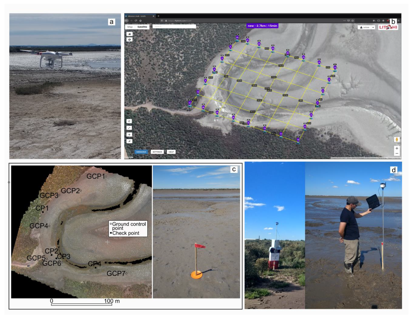
Hind Defence is known for our high level of client care and responsiveness, delivering technical expertise and superior results to meet specific project needs. Our broad range of geomatics services include mapping / geographic information systems, geo-spatial data integration, bathymetric surveying, 3D laser and high-density scanning, digital terrain modeling, remote sensing, title record research, deformation / settlement monitoring, advanced geodetic systems, and photogrammetry. In addition, we provide a wide range of survey services, including construction, topographic / pre-engineering, hydrographic, and cadastral surveys.
